


When the Earth Refuses to Cooperate: A Narrative from the Edge of Precision
1. Introduction: The Silence of the Mountains and the Anxiety of Data
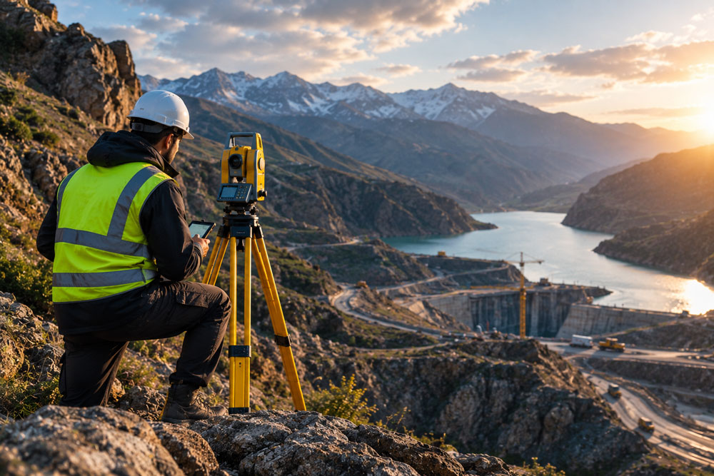
Standing alone on a ridge, as a thick fog rolls in from the sea to swallow the plains, is where “true engineering” begins. In the technical office, on wide monitors, everything is perfect; contour lines glide over each other with elegance, and coordinates sit in place with millimeter precision. But when you step into the field, that paper-perfect accuracy is the first thing to be challenged.
Surveying in textbooks is a collection of trigonometry and flawless geometry. But in reality, surveying is the “art of extracting truth from chaos.” When you set up a tripod on soft ground or a slippery rock, you are actually entering into a negotiation with nature itself. In these moments, you are not dealing with numbers; you are reporting what is not on the maps—a narrative of the pressure that hidden layers of the earth exert on our shoulders and our equipment.
2. Battle Against the Impossible: When the Climate Turns Against the Gear
If you have worked in rugged coastal areas, “wind” is not just a meteorological variable; it is an “active adversary.” The constant, sharp winds blowing from the deep blue expanse, cutting through rocky valleys with a force that defies balance, are every surveyor’s nightmare.
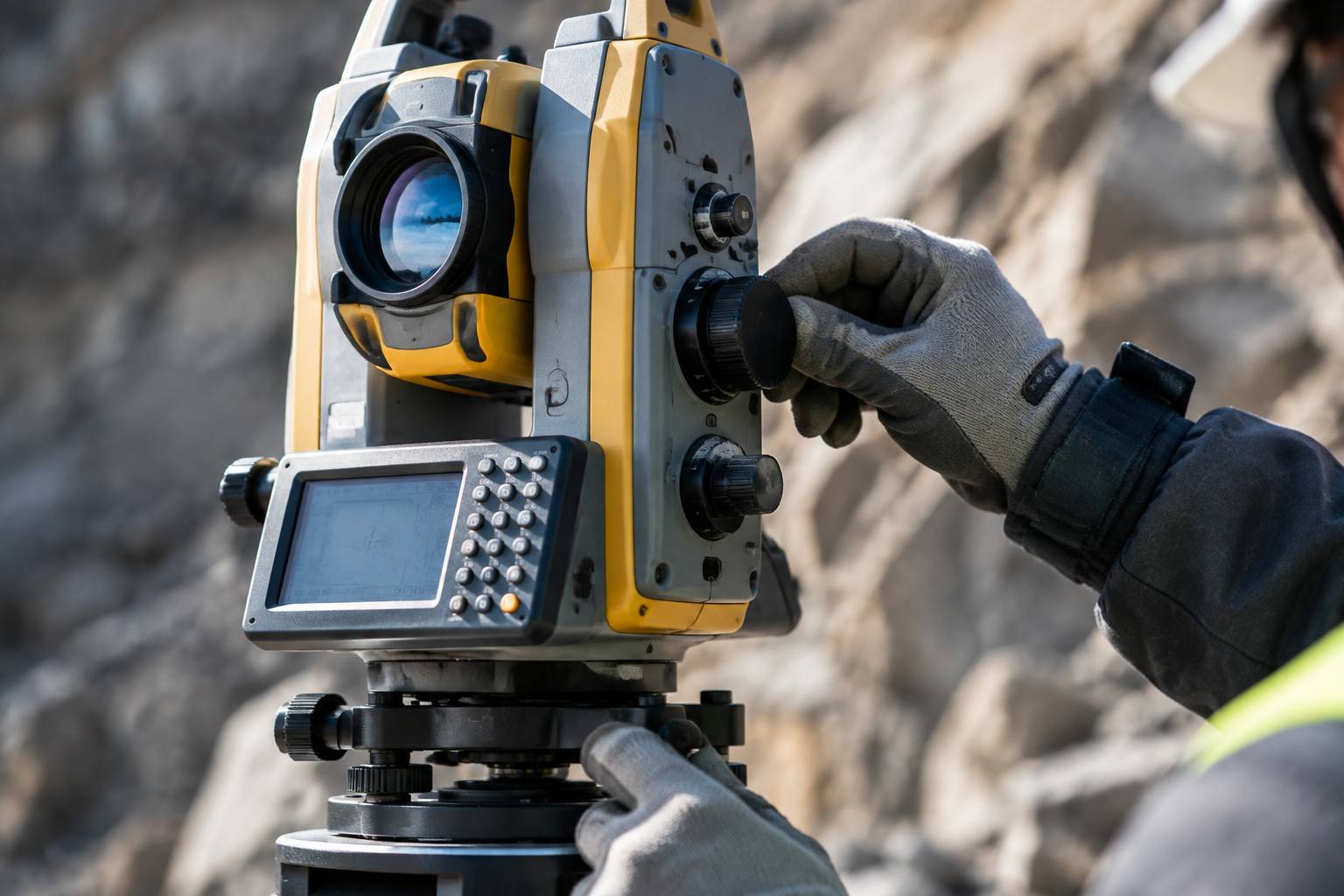
We talk about tripod stability, but in high winds, no tripod is truly “fixed.” When you set up a Total Station in such an environment, you are battling “micro-vibrations.” The camera lens might shift by a millimeter—a movement invisible to the naked eye, but one that eats away at precision like a parasite. We have learned that in these conditions, “patience” is the only solution; waiting for a lull in the gale, perhaps for just a second, so the instrument can catch its breath and lock onto the target.
But wind doesn’t just shake; it steals “temperature.” In this specific geography, sudden temperature shifts are a biological and technological challenge. When the sun breaks behind heavy coastal clouds and suddenly heats the rocky surface beneath our feet, our equipment suffers thermal shock. The metal of the tripod and the instrument’s body expand. In theory, the coefficient of linear expansion is a small number, but when you are conducting large-scale topography, these tiny changes over hours of work create errors that, without “field intuition,” you would never detect.
Dust, too, has its own story. In regions with loose, powdery soil, every step raises a cloud of suspended particles. For surveying equipment, these particles are poison. Total stations, designed for controlled, laboratory-like environments, expose their innards to the finest dust in these “tragic” conditions.
As field engineers, we have learned that “preventive maintenance” is not an organizational protocol; it is a survival instinct. When dust infiltrates the sensitive gears of horizontal and vertical motion, you hear a faint whine from the machine—a sound telling you that your angular reading precision might no longer be in the millimeter range. This is the point where an amateur operator differs from a “hardened pro.” The first packs up and goes home; the second, with hands shaking from cold or intense heat, spends hours cleaning the lenses and axes. Because they know that tomorrow, this machine is their only companion in that rugged expanse.
3. When Signals Lie: Battling a Restricted Sky
The greatest “modern deception” in surveying is over-reliance on GNSS or satellite systems. In open plains, everything is perfect; satellites dance in the sky, and your “fixed” precision reaches less than a few centimeters. But step into deep valleys or beneath tall rock walls, and the sky becomes “restricted.”
In this scenario, you grapple with a phenomenon called Multi-path. In these rugged environments, satellite signals don’t reach your antenna directly; they strike rocky walls, reflect, and then reach the receiver. For our poor receiver, all of this is “real signal.” The result? A multi-meter error hidden in your coordinates.
I have often seen teams with the world’s most expensive equipment fall into confusion in these rugged points. They record coordinates that look “accurate” on the screen, but the reality of the ground is something else entirely. In such moments, no software will help you. You must stop. You must sit, look at the horizon, and ask yourself: “Does the geometry of this environment allow the signal to reach me directly?”
This is exactly where you must set aside “technology” and rely on “engineering intuition.” We have learned that in these valleys, when signals lie, we must return to old-school Traverse methods—the same method used a hundred years ago, but with modern precision. This means robust pillars, precise setup, and reliance on absolute angles and distance rather than the “generosity of satellites.” This acceptance of technological failure is perhaps the hardest part of our work: accepting that against the violence of topography, machines are not as efficient as our own brains.
4. The Art of “Adapting” to a Rebellious Land
But is surveying only fighting? No. A major part of our work is the “art of reconciliation with the land.” When it comes to rugged terrain, timing is everything. In coastal areas or steep slopes, the “time of day” is the difference between an accurate map and an error-ridden one.
You might ask why? Because light and atmosphere change throughout the day. The phenomenon of “mirages” or light refraction due to intense ground heat, when conducting long-distance readings, is like a lie the atmosphere tells you. Your instrument’s lens sees air layers dancing. If you attempt to measure distant points at 2 PM, the error caused by light refraction will waste all your hard work.
A seasoned surveyor sets their biological clock with sunrise and sunset. We know our golden window is the early morning or near sunset, when the atmosphere is at its most stable. We “allow” the land to cool, let the air settle, and then we begin. This adaptability is written in no device manual. It is the legacy of experience passed down by those who stood before us and learned: “You cannot force nature; you must accompany it.”
5. The Human Challenge and Cognitive Fatigue in Workspace Solitude
Surveying in remote and rugged areas is not just a physical battle; it is the mind battling itself. When you spend hours among rocks or in barren plains, ambient noise is minimized, and your mind begins to play tricks on you. This “environmental silence” is a double-edged sword. It gives you focus, but it also plants hidden anxiety.
Our greatest psychological pressure comes not from altitude or the sun, but from the “weight of responsibility.” A surveyor knows that every point they record in the device is the foundation of all future construction. If an error occurs in a city building, it might be compensated for with a slight fix or moving a wall. But in large-scale projects executed in pristine areas, today’s one-centimeter error means a large-scale catastrophe tomorrow. This pressure is like an extra burden on the engineer’s shoulders—a burden that no instrument can calibrate.
The difference between a “desk surveyor” and a “field surveyor” is exactly this. The former looks at the device waiting for the clock to strike closing time. The latter looks at the ground, at the topography beneath their feet, and every moment asks themselves: “Was this setup the best choice?” This constant doubt is the most exhausting part of the work. When you return to camp or home at night, it is not physical fatigue that pins you down; it is the fatigue of “hyper-awareness” throughout the day.
We have learned that in these regions, the only way to survive is “routinization.” Routinizing setup, routinizing line-of-sight checks, and routinizing data verification. When your body is tired, your brain may take shortcuts and make mistakes. A professional engineer is one who doubts “themselves.” We always go back one more time to verify—not because we don’t trust the device, but because we don’t trust our own alertness in the final hours of the day. This positive obsession is what saves projects.
6. The Unwritten Heritage of the Field
In remote worksites, when the sun is setting and we are packing up our tools, the banter between engineers is the most real classroom I have ever attended. There, we are no longer talking about sine and cosine formulas; we are talking about the “tricks of the trade.” We talk about how, when the device vibrates in the intense coastal wind, placing a sandbag on the tripod can reduce frequency oscillation. Or how, by looking at the type of vegetation or the condition of the bedrock, one can guess whether the ground beneath our feet has enough stability for setup.
This knowledge is unwritten. It is the “field culture” passed from one generation to the next. No university teaches you how to revive your digital device when the weather is severely cold and the screen has slowed down, using body heat or special covers. This is the “field value engineering” that ensures a project doesn’t stop during a crisis. We learned this knowledge not from books, but from the failures of our predecessors. We learned to have deep respect for those who stood on these rocks before us and, without today’s satellite equipment, drew maps with millimeter precision that, even decades later, remain the sturdy pillars of construction projects. This legacy is our greatest asset—an asset stored in no cloud server and obtained only by being in the field, touching the stones, and feeling the wind.
This legacy builds the generation after us. The young surveyor standing next to us today, learning how to tie down the tripod in a cold wind, will pass this same knowledge to the next person ten years from now. An unwritten chain that continues only through “presence”—not by files, not by certificates.
7. Final Word: Beyond the Instrument (When Experience Replaces Technology)
As we reach the end of the work and pack the instruments into their specialized cases, when we look back at the path traveled, we realize that what we did was more than measuring distances and angles. We were “translating the land.” We converted the rugged language of rocks, the variable language of winds, and the language of the valley’s silence into numbers.
Surveying technology advances every year. Laser scanners become more accurate, drones create amazing 3D images, and cloud processing systems analyze data in minutes. But let me tell you one truth: none of these can replace the “engineer’s eye.” No AI can understand why, at a certain point in the valley, the ground is unstable, or why one should not trust the signal of a certain station.
This experience is stored in no database. This experience is in the calluses on our hands, in the instinctive understanding of air temperature changes, and in that small sixth sense that tells you when you set up the tripod: “This isn’t a good spot, move back a little.”
In these rugged areas, we respect our expensive tools, but we do not consider them the “reference of truth.” The truth of the land is what lies beneath our feet. The truth is the effort we make to understand it, even when nature does not want to be discovered.
Ultimately, surveying in difficult regions is a moral school. It teaches us to be humble. It teaches us that before the vastness of the land, we are only witnesses. Witnesses who must report the land’s story with precision, honesty, and impartiality for future projects. Every line drawn on our map paper is our signature—our signature on the safety of a structure destined to last for years on this rebellious land.
This is what makes us engineers. Not machines, not maps, not software; but that moment we stand, look, and decide how to narrate the truth of the land. And this is the most beautiful part of our work; the place where we, in the calm after the storm, look at the final map and know: “We understood this land.”