


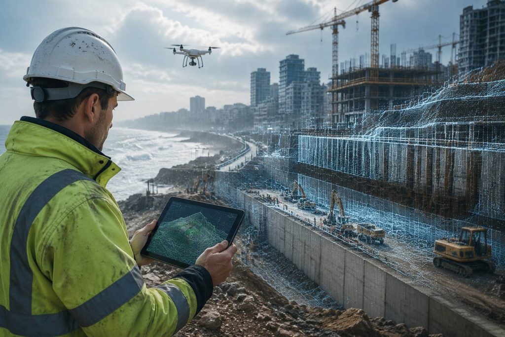
When a project starts not with the ground, but with data
In construction projects, much is determined long before the first excavation is made or the first rebar is placed on site. Quality, speed, cost, the rate of rework, the likelihood of disputes between the client and the contractor, and even the final satisfaction of the end-user, all depend to a large extent on how accurately we have understood the land and the existing reality at the start of the project. This is the point where surveying moves from a purely technical and peripheral activity to one of the primary foundations of decision-making in a project.
In recent years, the speed of urban and construction development in the Caucasus region—particularly in cities that are simultaneously engaged in new construction, urban regeneration, infrastructure development, and environmental constraints—has meant that traditional methods of data collection and control are no longer sufficient to meet the needs of complex projects. In such conditions, digital mapping is not just a new tool; it is a shift in perspective toward the project. In this view, the construction site is not merely an execution location, but a constant source of data—data that, if correctly recorded, analyzed, and used, can prevent major errors.
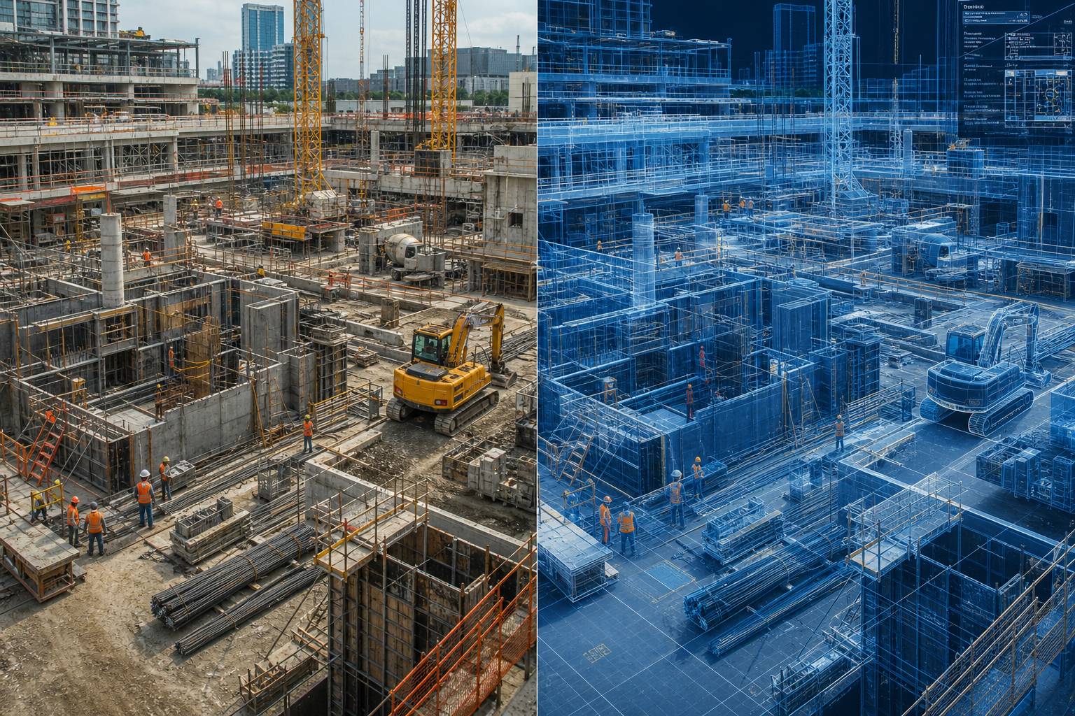
The main issue is that in today’s projects, we are no longer dealing with a flat surface and a simple map. A project may be located adjacent to existing buildings, busy thoroughfares, natural slopes, buried utilities, or even valuable urban structures. In such situations, limited and manual surveys, based on a few selected points, often provide an incomplete picture of reality. This incomplete picture manifests later in the form of executive errors, costly changes, time delays, and contractual disputes. Digital mapping enters the field precisely to bridge this gap between “what we think exists” and “what actually exists.”
What exactly does digital mapping change?
The change that digital mapping creates is not just in the tools, but in the quality of our understanding of the project. In traditional methods, a surveyor usually collected a number of points, and a model or map was prepared based on them. In many projects, this method is still used, but when we are faced with a project that has high execution sensitivity, serious time constraints, or significant spatial complexity, this level of data is no longer sufficient. Today’s projects require reality capture with high accuracy and full coverage.
When we talk about digital mapping, we are actually talking about a set of technologies that include precise satellite receivers, photogrammetry drones, terrestrial laser scanners, aerial imaging systems, point cloud processing software, and modeling and control environments like BIM. The true value of these tools lies in transforming information from a scattered and empirical state into an integrated, documented, and analyzable one. This means that instead of decisions being made based on guesses, individual experience, or limited site visits, they can be made based on accurate and up-to-date data.
For example, in a multi-story building project in a dense urban fabric, if the topography, adjacent walls, level differences, and the location of surrounding utilities are not surveyed with appropriate accuracy, even the initial design may be based on incorrect assumptions. The result of this error usually appears during excavation, foundation execution, or coordination with urban utilities; that is, when correcting the mistake is both more expensive and creates more tension in the project. Digital mapping allows these errors to be identified before entering sensitive phases.
Drones; when the project site takes on new meaning from above
One of the most tangible manifestations of digital mapping is the use of drones in project surveying. But the importance of a drone is not just in taking a few beautiful pictures of the workshop. What makes this technology valuable is its ability to produce accurate models of the ground surface, earthwork volumes, the progress status of the work, and even the documentation of daily or weekly project changes.
In construction projects, especially those that are large-scale or involve earthworks, road construction, landscaping, or infrastructure development, a drone can produce data in a short time that is either very time-consuming in traditional methods or fundamentally impossible to achieve with that accuracy and coverage. Through aerial image processing, one can prepare a Digital Surface Model (DSM), precise orthomosaics, contour lines, excavation and embankment volume calculations, and temporal change analysis. For a project manager, this is not just a technical output; it is a decision-making tool.
In the urban space, where projects are usually under pressure of time, limited access, and neighborhood sensitivity, this capability becomes even more important. Imagine that in a large project, the site manager must provide the client with an accurate report of the progress of earthworks or the site preparation status every week. If this report is based solely on traditional surveys or descriptive reports, there will always be room for doubt and dispute. But when accurate aerial data with a specific timestamp exists, discussions become more transparent, and decisions are made based on field reality. 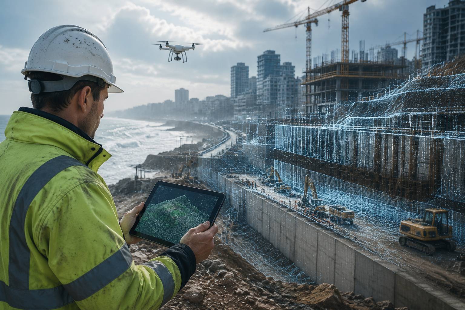
Caption 2: Utilizing drone photogrammetry for precise documentation of existing conditions and analysis of earthwork volume changes.
The important point is that professional use of drones means adhering to technical standards in surveying. The quality of aerial data depends on flight altitude, image overlap, ground control, processing type, and georeference accuracy. Therefore, a project that wants to truly benefit from this technology must view it as an engineering process, not an advertising or promotional task. When this correct view is formed, the drone transforms from a peripheral tool into one of the main sources of project understanding and control.
Laser scanning; capturing reality as it is
If drones are very useful for seeing the site from above, laser scanners have an unparalleled role in precisely understanding spatial details at a close scale. In projects dealing with existing structures, enclosed spaces, complex facades, or dense installations, 3D laser scanning can make the difference between a smooth execution and a stressful one.
A laser scanner records millions of points of the environment in a short time and builds a highly accurate point cloud. This point cloud is not just a beautiful 3D image; it is a numerical and measurable version of reality. When the design or execution team has access to this data, they no longer need to make decisions based on limited surveys or old maps. They can extract distances, angles, deviations, slopes, and the precise location of components directly from the model.
This is of extraordinary importance in renovation, retrofitting, development of existing buildings, or execution of new installations within the heart of an old structure. Many executive problems start from where the existing maps do not match the actual situation. A column is displaced by a few centimeters, the wall is not perfectly plumb, the ceiling has sagged, or the utility route is different from what is seen on the map. At first glance, these differences seem small, but during execution, these few centimeters can lead to serious conflicts, rework, and even halting operations.
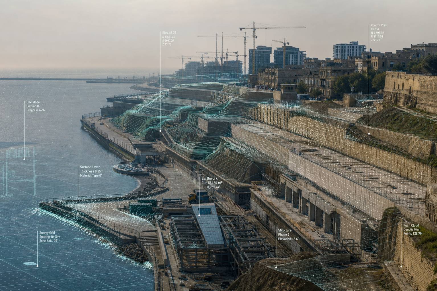
Caption 3: Processing point clouds from laser scanning to accurately identify structural deviations in dense urban contexts.
On the other hand, laser scanning is not just for the pre-execution phase. Throughout the project, it can also be used for quality control, checking execution deviations, matching the as-built status with the map, and documenting sensitive stages. This means the project is no longer controlled solely by the observer’s eye or oral reports; it is controlled based on data that is storable, reviewable, and verifiable. This change is important both from a technical perspective and from a managerial and contractual one.
Linking digital mapping with BIM; when raw data turns into engineering understanding
One of the most important values of digital mapping is revealed when the surveyed data enters the design, execution, and management workflow. If accurate data is produced but has no place in the daily decision-making of the project, much of its capacity is wasted. For this reason, in leading projects, mapping data is usually linked to Building Information Modeling (BIM) environments.
This connection takes the project out of an isolated state. This means that data from surveying, design, execution, and control are connected in a chain. For example, when the point cloud from a scan or the photogrammetry model from a drone enters the BIM environment, the design team can match the model with the existing reality. Then, during execution, the same model serves as the basis for progress control, clash detection, and quality inspection. Finally, the as-built information can be used for operations and maintenance.
In practice, this has a very important effect on reducing errors. Many project problems stem from design being done in one space and execution in another. The smaller this gap between the designer’s mental model and the site reality, the higher the quality of decisions. Digital mapping shrinks this gap. BIM also helps these data points become a common language between the consultant, contractor, client, and supervisor.
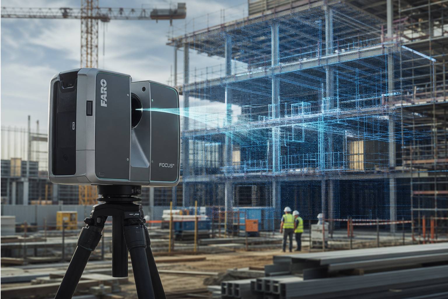
Caption 4: Integrating digital mapping data with BIM models to prevent utility and execution clashes.
In cities where projects are fast, dense, and capital-intensive, this data integration has become a professional necessity rather than a luxury advantage. A client who has several projects underway simultaneously, a contractor who must maintain a tight schedule, and a consultant who is responsible for technical accountability all benefit from this transparency. This is why digital mapping, when accompanied by BIM, does not just produce geometric accuracy; it produces managerial confidence.
The direct role of digital mapping in reducing costs and rework
One of the misconceptions in some projects is that digital mapping is an added cost that only very large projects need. While experience shows that this technology prevents hidden costs more than it creates them. The hidden costs of a project are usually not seen in the initial cost estimates, but they take their toll over time: rework, error correction, schedule delays, disputes with executive factors, excessive material consumption, or even a decrease in final quality.
When the initial survey is not accurate, design is based on assumptions. When design is not accurate, execution proceeds with ambiguity. When execution proceeds with ambiguity, errors occur. This simple chain is the reason for a large portion of resource waste in construction projects. Digital mapping cuts this chain from the starting point. For this reason, its economic effect is usually much greater than the initial cost of equipment and surveying.
For example, in earthworks, a limited error in the initial survey or volume control can lead to serious financial disputes between the client and the contractor. In structural execution, failing to detect a column deviation or incorrectly locating openings can delay the schedule by several days. In utility projects, the mismatch between the actual dimensions of the space and the maps sometimes results in purchased equipment being uninstallable or requiring costly modifications. In all these cases, digital mapping is preventive, not curative. And in a project, prevention is always cheaper than cure.
The legal and managerial value of accurate data in the project
In the professional construction space, everything does not just end with execution. A project is also a contractual framework; a framework where time, cost, quality, and responsibility must be clear. Wherever there is ambiguity, there is the possibility of disputes. One of the most important advantages of digital mapping is that it produces documentation from the project that can be decisive during disputes.
When accurate data with specific coordinates and a clear timestamp exists for a stage of the project, the discussion is no longer just about differing narratives. In such conditions, reality is verifiable. One can see what the site status was on a specific date, what the volume of operations was, what part was executed and what was not, and whether deviations or changes occurred compared to the design. This type of documentation makes the level of discourse in the project more professional. Many tensions that arise in traditional projects due to the lack of reliable data do not form in such a context, or are resolved sooner.
For the client, this data is a control tool. For the contractor, it is a technical defense tool. For the consultant, it is an accurate judgment tool. And for the whole project, it is a tool for transparency. This very transparency raises the quality of management and moves the decision-making space away from guesses and momentary pressures.
The human dimension of the story; technology is valuable when it makes things better for people
Although digital mapping is usually spoken of in terms of accuracy, models, coordinates, and technology, ultimately its true value lies in the impact it has on the lives of the people involved in the project. A construction project is not just machines, concrete, and software; it is a collection of human beings who must bring work to fruition under the pressure of time, cost, and responsibility. Any tool that reduces the anxiety caused by ambiguity actually helps make the project process more human.
When a project manager does not face conflicting data every day, they make better decisions. When the execution engineer knows the layout is based on an accurate model, they work with more confidence. When the supervisor can use accurate documentation instead of relying solely on random observations, quality control improves. When the client sees the actual progress trend, their relationship with the execution team becomes clearer. All this means that digital mapping does not just produce technical accuracy; it also produces work peace and professional trust.
Caption 5: Analyzing digital data in the project management room; converting raw information into strategic decision-making tools.
This issue becomes even more important in projects where several teams with different languages, expertise, or work cultures work side by side. Accurate data becomes a kind of common language. When everyone sees a single model, misunderstandings decrease. And in a project, reducing misunderstandings means reducing tension, stoppage, and waste of energy.
The future of construction projects belongs to accuracy, not guesswork
The construction world is moving in a direction where major decisions can no longer be based on incomplete surveys and approximate reports. As projects become more complex, capital larger, and schedules tighter, the need for tools that capture reality with accuracy and speed increases. In this path, digital mapping is no longer a luxury choice; it is part of a project’s professional maturity.
In the context of urban and construction development of the region, where both the visual quality of the structure and its infrastructural function are important, one cannot expect tomorrow’s results with yesterday’s tools. A project that wants to be successful from a technical, economic, and managerial perspective must place an accurate understanding of the ground, environment, and execution status at the center of its decision-making. Digital mapping makes it possible to see the project before it enters a crisis; to control it before it returns costs; and to have documented reality before disputes form.

Caption 6: The vision of urban development relying on data-driven infrastructure and intelligent mapping.
Final word
The application of digital mapping in construction projects is not limited to increasing measurement accuracy. This technology, in truth, helps the project see better, understand better, decide better, and execute better. From the initial land survey to progress control, from volume analysis to matching execution with design, from legal documentation to integration with BIM, digital mapping has become the hidden pillar of project quality.
In a space where construction development progresses with speed and sensitivity, relying on accurate data is no longer a sign of technical luxury, but a sign of professional responsibility. A project that begins with accurate knowledge usually ends with less dispute, less rework, and higher quality. For this reason, if we want to talk about the future of professional construction, we must accept that this future passes through data, accuracy, and the intelligent recording of reality. Digital mapping finds its meaning at this very point: not as a promotional tool, but as one of the most real and effective foundations of project success.